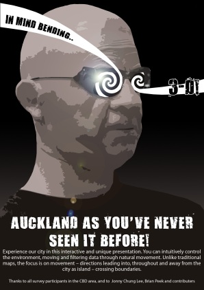
A short statement
This project is about mapping, presenting Auckland as it is not observed though our eyes, or perceived through our experiences, or even as seen from a satellite.
This project uses crowd-sourcing for data and open-sourcing for code. Between these two things and our interpretation lies the content.
We discovered through surveying conducted in the Auckland CBD area of the public, some of the directions and paths within, in and out of the city. Using a graphical map we were able to accurately collect the information on their current and intended locations. This data was inputted into a data file and read by our program.
The program is based on the work of Johnny Cheung and a number of others interested in the Nintendo Wiimote and it’s applications outside the gaming console with which it is sold. Reading the data collected, the program produces a three-dimensional view of the city and the vectors of different scales as staples into it. As the viewer moves their head (wearing special IR-emitting glasses), in real-time the view is updated to reflect the angle and distance at which they are now viewing the screen. The idea is to be immersive and to present more data that would be possible upon a 2D surface such as paper, and indeed the digital panel we used – a type of filter applied through human haptic interfacing.
Really, the only landmarks visible were the icons we provided such as The Skytower and Britomart, as well as the shoreline. Even with only this sparse amount of information, people were able to identify Queen St, the grid of Auckland and the journeys they themselves usually took. This was our goal, to show this information and make it easy to access without words or instructions.


Hi David,
You are both to be commended for making use of existing code and technologies to produce a technically very sophisticated piece of work. It was interesting reading both your blogs earlier in the project to see how your different interests came together in a collaborative venture. Working as a pair has its own peculiarities and is a learning experience in itself. I hope you take away a lot from this project in this regard and it seems you have certainly extended the techniques you can use to present your ideas.
For me it seems that the novelty of the interface has drawn focus away from the data you are representing. I wonder if people engaged less analytically with your work? In the videos I saw people seemed to be having a lot of fun and I wonder if it actually mattered what you put on the screen as long as it moved in relation to the viewer. This isn’t meant as a criticism as such, more to reflect on what the advantages and disadvantages of this particular presentation strategy are. The next project is surely to map the movements of the people’s head while viewing your work!
Its also hard having not experienced the work first hand to tell what advantages this strategy has over a conventional drawing, I understand some filtering is going on and getting closer to the map changes what is displayed. How different is this from reading a topographic map? From afar we see general large scale features, up close we can see finer details. I think we are constantly viewing the world with a set of mental filters, we can choose to focus on only blue elements or text or whatever.
None of this is to say that I haven’t enjoyed your project, I am hugely impressed with the interface you have created, but I think when one aspect of the project is of such high quality it is worth examining the other aspects with the same degree of thoroughness.
David, I thought given the text based approach to much of your blog, and an engagement with the theoretical issues you came across in the course, there might have been more to your final statement than what is essentially a description of the project. While this is interesting (and useful) it would be great to have something on the motivations for the mapping and the interface. I suspect this is something you will reflect on yourself, but would form a helpful point for others to engage in you ideas.
Well done,
chris
making do said this on Thursday, October 30, 2008 at 11:31 pm